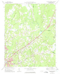
1973 Map of Northeast Durham
USGS Topo · Published 1975About this map
The Eno River and Neuse River converge in this transition landscape north of Durham, where early 1970s suburban growth meets established rural settlements. The map highlights a complex network of transportation and industry, including the Southern and Seaboard Coast Line railroads and the Durham Skypark Airport. In the heart of this area, the community of Gorman serves as a local hub near Burton and Glen Forest.
Find a feature on this map
48 named features on this map. Tap any name to fly to it.
Don’t see what you’re looking for? This feature index may not catch every label — zoom into the map to look around manually.
Map Details
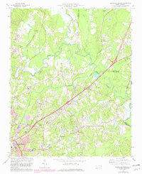
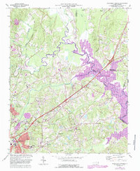
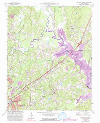
Editions of this 1973 Northeast Durham Map
4 editions found
Other maps of this area

1943 · Durham South
USGS Topo · 1:62,500

1943 · Raleigh
USGS Topo · 1:62,500

1943 · Creedmoor
USGS Topo · 1:62,500

1944 · Creedmoor
USGS Topo · 1:62,500

1951 · Raleigh
USGS Topo · 1:62,500

1951 · Durham South
USGS Topo · 1:62,500

1951 · Durham North
USGS Topo · 1:62,500

1953 · Raleigh
USGS Topo · 1:250,000

1953 · Greensboro
USGS Topo · 1:250,000

1954 · Greensboro
USGS Topo · 1:250,000