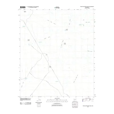
2010 Map of Rough and Ready Hills
USGS Topo · Published 2010About this map
Adobe Ranch anchors this high-desert landscape in Doña Ana County, where a complex network of water management features reveals the necessity of irrigation and livestock support in an arid environment. The map documents numerous dams and catchments, such as Las Uvas Number Five Dam and Las Uvas Number Four Dam, which are strategically placed among the rugged formations of the Rough and Ready Hills and Cedar Hills.
Find a feature on this map
25 named features on this map. Tap any name to fly to it.
Don’t see what you’re looking for? This feature index may not catch every label — zoom into the map to look around manually.
Map Details
Editions of this 2010 Rough and Ready Hills Map
This is the sole edition of this map. No revisions or reprints were ever made.
Other maps of this area

1891 · Las Cruces
USGS Topo · 1:125,000

1893 · Las Cruces
USGS Topo · 1:125,000

1916 · Tonuco
USGS Topo · 1:125,000

1932 · Tonuco
USGS Topo · 1:125,000

1941 · Las Cruces
USGS Topo · 1:62,500

1943 · Corralitos Ranch
USGS Topo · 1:62,500

1943 · Las Cruces
USGS Topo · 1:62,500

1948 · San Diego Mountain
USGS Topo · 1:62,500

1955 · Las Cruces
USGS Topo · 1:250,000

1958 · Las Cruces
USGS Topo · 1:250,000