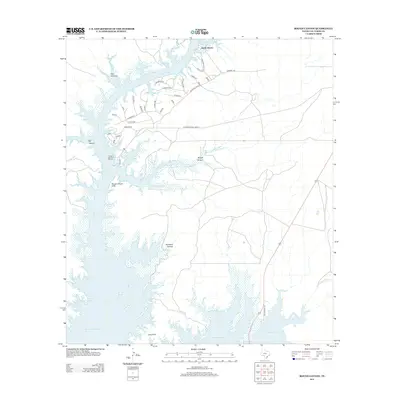
2013 Map of Rough Canyon
USGS Topo · Published 2013About this map
Devils Shores stands at the northern edge of this arid landscape, where the Devils River feeds into the expansive Amistad Reservoir. The geography is defined by complex canyon systems, including Twin Canyons, Big Canyon, and the notable Rough Canyon. These geological features create a jagged shoreline along the reservoir, leading south past the Rough Canyon Cliffs toward Long Point.
Find a feature on this map
39 named features on this map. Tap any name to fly to it.
Don’t see what you’re looking for? This feature index may not catch every label — zoom into the map to look around manually.
Map Details
Editions of this 2013 Rough Canyon Map
This is the sole edition of this map. No revisions or reprints were ever made.
Other maps of this area

1941 · Feely
USGS Topo · 1:62,500

1943 · Devils River
USGS Topo · 1:62,500

1943 · Del Rio
USGS Topo · 1:62,500

1944 · Devils River
USGS Topo · 1:62,500

1944 · Devils Lake
USGS Topo · 1:62,500

1958 · Del Rio
USGS Topo · 1:250,000

1964 · Del Rio
USGS Topo · 1:250,000

1972 · Amistad Dam
USGS Topo · 1:24,000

1972 · California Creek
USGS Topo · 1:24,000

1972 · Miers Ranch
USGS Topo · 1:24,000