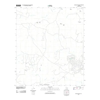
2010 Map of Rough Hollow
USGS Topo · Published 2010About this map
Mount Sharp and the adjacent Mount Sharp Cemetery overlook a landscape defined by the winding course of the Blanco River and its numerous tributaries. This 2010 survey reveals a rural Texas terrain increasingly punctuated by residential development, particularly around Big Dam Lake and Big Dam. The distribution of family and local burial grounds, such as the Gatlin-Garrett Cemetery, Jacobs Well Cemetery, and Pleasant Valley Cemetery, provides a clear map of the area's genealogical history and early settlement patterns.
Find a feature on this map
24 named features on this map. Tap any name to fly to it.
Don’t see what you’re looking for? This feature index may not catch every label — zoom into the map to look around manually.
Map Details
Editions of this 2010 Rough Hollow Map
This is the sole edition of this map. No revisions or reprints were ever made.
Other maps of this area

1887 · Blanco
USGS Topo · 1:125,000

1894 · Blanco
USGS Topo · 1:125,000

1920 · Smithsons Valley
USGS Topo · 1:62,500

1925 · Smithson Valley No. 1
USGS Topo · 1:48,000

1927 · Smithson Valley
USGS Topo · 1:62,500

1929 · Hunter
USGS Topo · 1:62,500

1929 · Smithson Valley
USGS Topo · 1:62,500

1940 · Smithson Valley
USGS Topo · 1:62,500

1954 · Llano
USGS Topo · 1:250,000

1954 · San Antonio
USGS Topo · 1:250,000