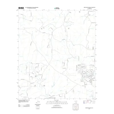
2012 Map of Rough Hollow
USGS Topo · Published 2012About this map
Mt Sharp stands as a central geographic anchor in this Texas Hill Country landscape, where the headwaters of Cypress Cr and S Onion Cr carve through a terrain of named hollows and ridges. The presence of several family-named burial grounds, including the Mt Sharp Cem and Gatlin Garrett Cem, indicates the deep roots of ranching families in this part of Hays County.
Find a feature on this map
103 named features on this map. Tap any name to fly to it.
Don’t see what you’re looking for? This feature index may not catch every label — zoom into the map to look around manually.
Map Details
Editions of this 2012 Rough Hollow Map
This is the sole edition of this map. No revisions or reprints were ever made.
Other maps of this area

1887 · Blanco
USGS Topo · 1:125,000

1894 · Blanco
USGS Topo · 1:125,000

1920 · Smithsons Valley
USGS Topo · 1:62,500

1925 · Smithson Valley No. 1
USGS Topo · 1:48,000

1927 · Smithson Valley
USGS Topo · 1:62,500

1929 · Hunter
USGS Topo · 1:62,500

1929 · Smithson Valley
USGS Topo · 1:62,500

1940 · Smithson Valley
USGS Topo · 1:62,500

1954 · Llano
USGS Topo · 1:250,000

1954 · San Antonio
USGS Topo · 1:250,000