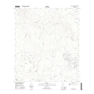
2016 Map of Rough Hollow
USGS Topo · Published 2016About this map
Mount Sharp and the surrounding Hill Country terrain define this landscape at the intersection of Hays and Comal counties. The area is characterized by deep relief and significant water features, including the Blanco River, which flows through the southern portion of the sheet near Elm Hollow and Rough Hollow. To the east, the notable Jacobs Well Spring serves as a primary hydrological landmark near the Jacobs Well Cem.
Find a feature on this map
97 named features on this map. Tap any name to fly to it.
Don’t see what you’re looking for? This feature index may not catch every label — zoom into the map to look around manually.
Map Details
Editions of this 2016 Rough Hollow Map
This is the sole edition of this map. No revisions or reprints were ever made.
Other maps of this area

1887 · Blanco
USGS Topo · 1:125,000

1894 · Blanco
USGS Topo · 1:125,000

1920 · Smithsons Valley
USGS Topo · 1:62,500

1925 · Smithson Valley No. 1
USGS Topo · 1:48,000

1927 · Smithson Valley
USGS Topo · 1:62,500

1929 · Hunter
USGS Topo · 1:62,500

1929 · Smithson Valley
USGS Topo · 1:62,500

1940 · Smithson Valley
USGS Topo · 1:62,500

1954 · Llano
USGS Topo · 1:250,000

1954 · San Antonio
USGS Topo · 1:250,000