Loading...
Loading map...2023 Map of Rough Hollow
USGS Topo · Published 2023About this map
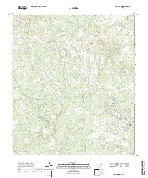
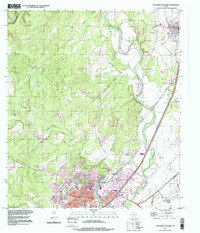
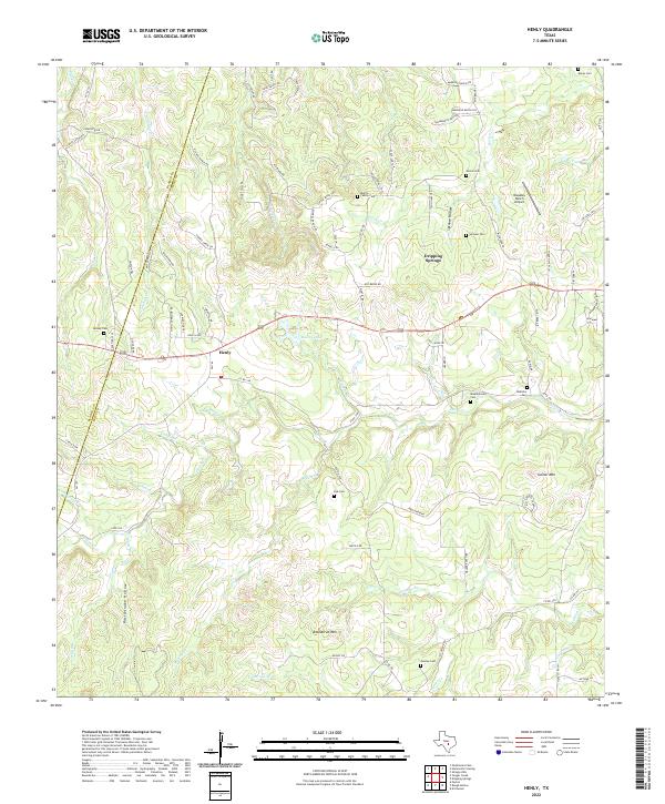
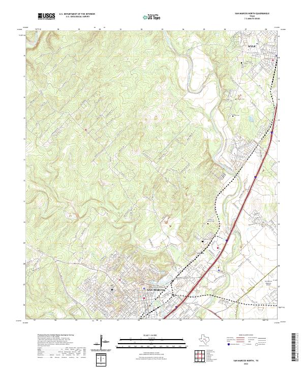
The hills of western Hays County are defined by deep limestone drainages and prominent summits like Mt Sharp and Jack Mtn. This modern survey of the Texas Hill Country captures a landscape shaped by the Blanco River and the meandering path of Cypress Creek. Local family history is preserved in small burial grounds such as Gatlin-Garrett Cem and Mount Sharp Cem, which sit atop the ridges and valleys of the Edwards Plateau.
Find a feature on this map
103 named features on this map. Tap any name to fly to it.
Don’t see what you’re looking for? This feature index may not catch every label — zoom into the map to look around manually.
Map Details
Date Portrayed2023
Date Published2023
PublisherU.S. Geological Survey
Map TypeTopographic
Scale1:24000
Physical Dimensions24 x 29 inches
Editions of this 2023 Rough Hollow Map
This is the sole edition of this map. No revisions or reprints were ever made.
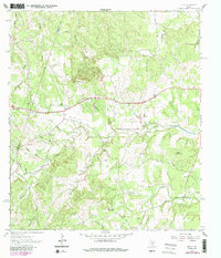
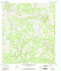
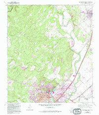
Historical Maps of Mount Sharp Through Time
7 maps found
Featured Locations
Source Details
SourceU.S. Geological Survey
CopyrightPublic Domain