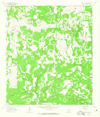
1963 Map of Rough Hollow
USGS Topo · Published 1965About this map
The Blanco River snakes through this Hays County landscape in the early 1960s, defining a terrain of limestone cuts and upland peaks. Notable elevations like Mt Sharp, Jack Mountain, and Peach Mtn rise above a dense network of drainages including Wanslow Creek and the namesake Rough Hollow. The presence of Jacobs Well (Flowing) and the Wimberly 2 WT Pumping Sta highlights the region's critical reliance on artesian water and groundwater infrastructure.
Find a feature on this map
26 named features on this map. Tap any name to fly to it.
Don’t see what you’re looking for? This feature index may not catch every label — zoom into the map to look around manually.
Map Details
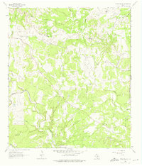
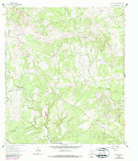
Editions of this 1963 Rough Hollow Map
3 editions found
Other maps of this area

1887 · Blanco
USGS Topo · 1:125,000

1894 · Blanco
USGS Topo · 1:125,000

1920 · Smithsons Valley
USGS Topo · 1:62,500

1925 · Smithson Valley No. 1
USGS Topo · 1:48,000

1927 · Smithson Valley
USGS Topo · 1:62,500

1929 · Hunter
USGS Topo · 1:62,500

1929 · Smithson Valley
USGS Topo · 1:62,500

1940 · Smithson Valley
USGS Topo · 1:62,500

1954 · Llano
USGS Topo · 1:250,000

1954 · San Antonio
USGS Topo · 1:250,000