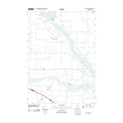
2010 Map of Round Bluff
USGS Topo · Published 2010About this map
The Wisconsin River and its intricate network of tributaries and backwaters dominate this Wisconsin landscape, where the confluence with the Lemonweir River creates a complex system of sloughs and channels. The northern edge is anchored by the Castle Rock 2WP724 Dam, which contains the waters of Castle Rock Lake. Cultural landmarks and small settlements are scattered throughout the river valley, providing key points of reference for local historians. These include the Woodside Ranch and the historic burial grounds of Saint Michaels Cemetery and Township Cemetery. To the southeast, the terrain transitions near the marshy reaches of the Lemonweir River, while the prominent rise of Quincy Bluff stands out along the northeastern margin. The map also documents local infrastructure through features like the Pokorney 3WR273 Dam and the path of Old Highway 71, illustrating how the region's geography has been managed for power and transport.
Find a feature on this map
55 named features on this map. Tap any name to fly to it.
Don’t see what you’re looking for? This feature index may not catch every label — zoom into the map to look around manually.
Map Details
Editions of this 2010 Round Bluff Map
This is the sole edition of this map. No revisions or reprints were ever made.
Other maps of this area

1901 · The Dells
USGS Topo · 1:62,500

1921 · Mauston
USGS Topo · 1:62,500

1956 · Reedsburg
USGS Topo · 1:62,500

1957 · Wisconsin Dells
USGS Topo · 1:62,500

1957 · Madison
USGS Topo · 1:250,000

1958 · La Crosse
USGS Topo · 1:250,000

1960 · Madison
USGS Topo · 1:250,000

1961 · La Crosse
USGS Topo · 1:250,000

1961 · Adams
USGS Topo · 1:62,500

1962 · Mauston
USGS Topo · 1:62,500