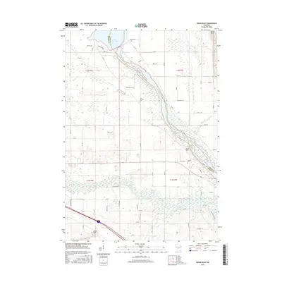
2016 Map of Round Bluff
USGS Topo · Published 2016About this map
The Wisconsin River carves a winding path through the heart of this landscape, marking the natural boundary between Adams Co and Juneau Co. To the north, the waters of Castle Rock Lake are held back by a dam, while further south, the Lemonweir River joins the drainage system near the settlement of Round Bluff. The topography is defined by prominent elevations such as Quincy Bluff and the sandstone formation of Castle Rock. Human presence is etched into the terrain through a network of local routes like Co Rd HH and Hallinan Rd, alongside established grounds such as Saint Michaels Cem and Township Cem. This 2016 survey illustrates a rural Wisconsin environment where river-bottom wetlands and upland bluffs dictate the placement of family farms and homesteads.
Find a feature on this map
67 named features on this map. Tap any name to fly to it.
Don’t see what you’re looking for? This feature index may not catch every label — zoom into the map to look around manually.
Map Details
Editions of this 2016 Round Bluff Map
This is the sole edition of this map. No revisions or reprints were ever made.
Other maps of this area

1901 · The Dells
USGS Topo · 1:62,500

1921 · Mauston
USGS Topo · 1:62,500

1956 · Reedsburg
USGS Topo · 1:62,500

1957 · Wisconsin Dells
USGS Topo · 1:62,500

1957 · Madison
USGS Topo · 1:250,000

1958 · La Crosse
USGS Topo · 1:250,000

1960 · Madison
USGS Topo · 1:250,000

1961 · La Crosse
USGS Topo · 1:250,000

1961 · Adams
USGS Topo · 1:62,500

1962 · Mauston
USGS Topo · 1:62,500