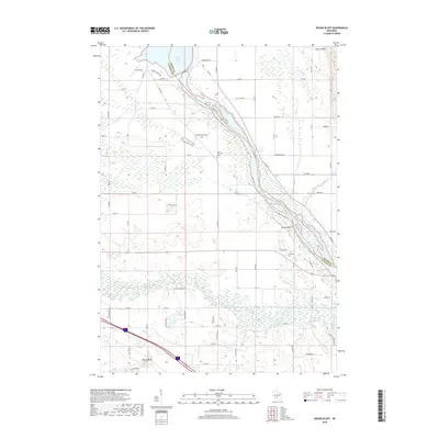
2018 Map of Round Bluff
USGS Topo · Published 2018About this map
Lemonweir River and the Wisconsin River dominate this modern topographic landscape, where the waters of the Castle Rock Lake reservoir meet the complex wetland networks of southern Juneau County. The map documents the intricate division of land along the Adams Co Juneau Co boundary, where the river serves as both a physical barrier and a connector for local commerce. Settlements like Castle Rock and the namesake Round Bluff are mapped alongside rural landmarks including Saint Michaels Cem and the Township Cem. The topography is defined by significant elevations such as Quincy Bluff, rising above the low-lying creeks like White Creek and Duck Cr. This 2018 survey detail provides a clear look at the contemporary road network, from Co Rd HH to various numbered avenues, reflecting the modern residential and agricultural development of the region.
Find a feature on this map
63 named features on this map. Tap any name to fly to it.
Don’t see what you’re looking for? This feature index may not catch every label — zoom into the map to look around manually.
Map Details
Editions of this 2018 Round Bluff Map
This is the sole edition of this map. No revisions or reprints were ever made.
Other maps of this area

1901 · The Dells
USGS Topo · 1:62,500

1921 · Mauston
USGS Topo · 1:62,500

1956 · Reedsburg
USGS Topo · 1:62,500

1957 · Wisconsin Dells
USGS Topo · 1:62,500

1957 · Madison
USGS Topo · 1:250,000

1958 · La Crosse
USGS Topo · 1:250,000

1960 · Madison
USGS Topo · 1:250,000

1961 · La Crosse
USGS Topo · 1:250,000

1961 · Adams
USGS Topo · 1:62,500

1962 · Mauston
USGS Topo · 1:62,500