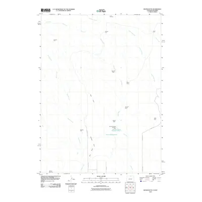
2010 Map of Round Butte
USGS Topo · Published 2010About this map
Gilman Mountain and the distinctive Round Butte anchor this high-plains landscape along the Colorado-Wyoming border. The 2010 topography reveals a remote ranching or field-research environment defined by a network of seasonal watercourses like Spottlewood Creek, Rawhide Creek, and Sand Creek. The settlement pattern is characterized by scattered outposts including Soapstone Camp, Brannigan Camp, and a series of stations along the central drainage such as Upper Jack Springs Camp and Lower Jack Springs Camp.
Find a feature on this map
25 named features on this map. Tap any name to fly to it.
Don’t see what you’re looking for? This feature index may not catch every label — zoom into the map to look around manually.
Map Details
Editions of this 2010 Round Butte Map
This is the sole edition of this map. No revisions or reprints were ever made.
Other maps of this area

1905 · Sherman
USGS Topo · 1:125,000

1907 · Livermore
USGS Topo · 1:125,000

1908 · Eaton
USGS Topo · 1:125,000

1909 · Livermore
USGS Topo · 1:125,000

1910 · Eaton
USGS Topo · 1:125,000

1911 · Cheyenne
USGS Topo · 1:125,000

1914 · Cheyenne
USGS Topo · 1:125,000

1950 · Cheyenne
USGS Topo · 1:62,500

1954 · Cheyenne
USGS Topo · 1:250,000

1954 · Greeley
USGS Topo · 1:250,000