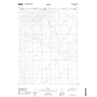
2019 Map of Round Butte
USGS Topo · Published 2019About this map
The Wyoming-Colorado border defines the northern edge of this high-altitude landscape, where the ranching grounds of Laramie County meet Larimer County. The terrain is characterized by a complex network of seasonal watercourses and drainage features, including Sand Creek and the long course of Spottlewood Creek. Prominent geological landmarks such as Round Butte and Gilman Mountain anchor the topography, while Round Butte Reservoir provides a critical water source in this semi-arid environment.
Find a feature on this map
34 named features on this map. Tap any name to fly to it.
Don’t see what you’re looking for? This feature index may not catch every label — zoom into the map to look around manually.
Map Details
Editions of this 2019 Round Butte Map
This is the sole edition of this map. No revisions or reprints were ever made.
Other maps of this area

1905 · Sherman
USGS Topo · 1:125,000

1907 · Livermore
USGS Topo · 1:125,000

1908 · Eaton
USGS Topo · 1:125,000

1909 · Livermore
USGS Topo · 1:125,000

1910 · Eaton
USGS Topo · 1:125,000

1911 · Cheyenne
USGS Topo · 1:125,000

1914 · Cheyenne
USGS Topo · 1:125,000

1950 · Cheyenne
USGS Topo · 1:62,500

1954 · Cheyenne
USGS Topo · 1:250,000

1954 · Greeley
USGS Topo · 1:250,000