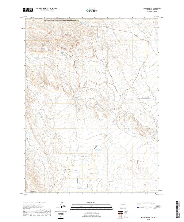
2022 Map of Round Butte
USGS Topo · Published 2022About this map
The Colorado-Wyoming border cuts across this high-plains landscape, where the northern edge of Larimer County meets Laramie County. The terrain is defined by the prominent Round Butte and the broad expanse of Rawhide Flats, a region characterized by complex drainage networks and seasonal water sources. Hydrological features like Soapstone Springs, Jack Springs, and Brannigan Spring indicate the critical role of water in this semi-arid environment, supporting the surrounding rangeland.
Find a feature on this map
34 named features on this map. Tap any name to fly to it.
Don’t see what you’re looking for? This feature index may not catch every label — zoom into the map to look around manually.
Map Details
Editions of this 2022 Round Butte Map
This is the sole edition of this map. No revisions or reprints were ever made.
Other maps of this area

1905 · Sherman
USGS Topo · 1:125,000

1907 · Livermore
USGS Topo · 1:125,000

1908 · Eaton
USGS Topo · 1:125,000

1909 · Livermore
USGS Topo · 1:125,000

1910 · Eaton
USGS Topo · 1:125,000

1911 · Cheyenne
USGS Topo · 1:125,000

1914 · Cheyenne
USGS Topo · 1:125,000

1950 · Cheyenne
USGS Topo · 1:62,500

1954 · Cheyenne
USGS Topo · 1:250,000

1954 · Greeley
USGS Topo · 1:250,000