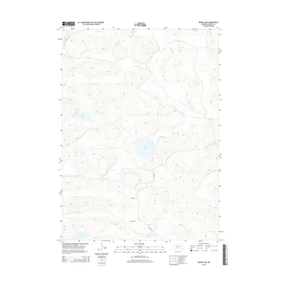
2014 Map of Round Lake
USGS Topo · Published 2014About this map
Round Lake sits at the center of this remote section of the Nebraska Sandhills, a landscape defined by its numerous wind-formed depressions and scattered wetlands. The hydrology of the region is traced by the winding path of Gordon Creek (also labeled Gordon Cr) as it cuts through the northern portion of the quadrangle. In this sparsely populated corner of Cherry County, human presence is primarily marked by a handful of established routes, including Whitman Rd, Maire Dr, and Adamson Dr. These roads provide the only significant access through the hills to reach the various isolated bodies of water like Goose Lake, Murphy Lake, and Bray Lake. The map illustrates the characteristic isolation of the western plains, where the natural terrain and water sources dictate the placement of local thoroughfares.
Find a feature on this map
9 named features on this map. Tap any name to fly to it.
Don’t see what you’re looking for? This feature index may not catch every label — zoom into the map to look around manually.
Map Details
Editions of this 2014 Round Lake Map
This is the sole edition of this map. No revisions or reprints were ever made.
Other maps of this area

1949 · Steverson Lake
USGS Topo · 1:62,500

1950 · Doughboy
USGS Topo · 1:62,500

1950 · Wolf Lake
USGS Topo · 1:62,500

1951 · Steverson Lake
USGS Topo · 1:62,500

1951 · Wolf Lake
USGS Topo · 1:62,500

1951 · Merriman 4
USGS Topo · 1:62,500

1952 · Doughboy
USGS Topo · 1:62,500

1957 · Valentine
USGS Topo · 1:250,000

1959 · Valentine
USGS Topo · 1:250,000

1985 · Mullen
USGS Topo · 1:100,000