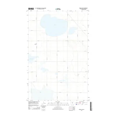
2014 Map of Round Lake
USGS Topo · Published 2014About this map
The glacial prairie landscape of Pierce County is defined here by its scattered wetlands and seasonal water bodies, dominated by the wide basin of Round Lake in the north and the expansive Rush Lake to the south. This area of North Dakota remains organized around a strict section-line road grid, including 20th Ave NE and 72nd St NE, which serves the agricultural interests of the region. A notable point of interest for local historians and genealogists is the Southwest Barton Cem, situated along the western edge of the quadrangle near the curving shore of Horseshoe Lake. The topography is relatively level with subtle depressions that collect water, creating a patchwork of small ponds and sloughs between the larger named lakes.
Find a feature on this map
17 named features on this map. Tap any name to fly to it.
Don’t see what you’re looking for? This feature index may not catch every label — zoom into the map to look around manually.
Map Details
Editions of this 2014 Round Lake Map
This is the sole edition of this map. No revisions or reprints were ever made.
Other maps of this area

1954 · Tunbridge
USGS Topo · 1:24,000

1954 · Towner NE
USGS Topo · 1:24,000

1954 · Overly SE
USGS Topo · 1:24,000

1954 · Barton
USGS Topo · 1:24,000

1954 · Berwick
USGS Topo · 1:24,000

1954 · Round Lake
USGS Topo · 1:24,000

1954 · Leverich
USGS Topo · 1:24,000

1954 · Willow City
USGS Topo · 1:24,000

1954 · Towner SE
USGS Topo · 1:24,000

1954 · Minot
USGS Topo · 1:250,000