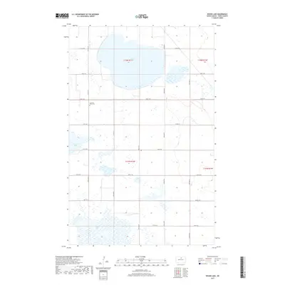
2017 Map of Round Lake
USGS Topo · Published 2017About this map
The low-lying wetland complexes of Pierce County define this prairie landscape, where the waters of Round Lake and the irregular basin of Horseshoe Lake dominate the northern terrain. The sheet captures a moment in the region's 21st-century topography, characterized by a stark, rectilinear grid of county roads such as 74th St NE and 20th Ave NE that carve the plains into regular sections. For local historians and genealogists, the Southwest Barton Cem serves as a significant landmark, situated amidst the wide-open spaces of Township 158 North. To the south, the expansive marshy reaches of Rush Lake illustrate the seasonal hydrology of the North Dakota pothole region, where water levels often shift across the township lines of t157n r74w.
Find a feature on this map
21 named features on this map. Tap any name to fly to it.
Don’t see what you’re looking for? This feature index may not catch every label — zoom into the map to look around manually.
Map Details
Editions of this 2017 Round Lake Map
This is the sole edition of this map. No revisions or reprints were ever made.
Other maps of this area

1954 · Tunbridge
USGS Topo · 1:24,000

1954 · Towner NE
USGS Topo · 1:24,000

1954 · Overly SE
USGS Topo · 1:24,000

1954 · Barton
USGS Topo · 1:24,000

1954 · Berwick
USGS Topo · 1:24,000

1954 · Round Lake
USGS Topo · 1:24,000

1954 · Leverich
USGS Topo · 1:24,000

1954 · Willow City
USGS Topo · 1:24,000

1954 · Towner SE
USGS Topo · 1:24,000

1954 · Minot
USGS Topo · 1:250,000