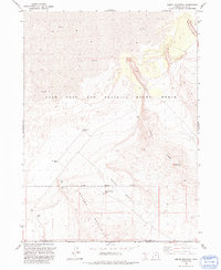
1991 Map of Round Mountain
USGS Topo · Published 1991About this map
Utah Test and Training Range North dominates this landscape along the border of Box Elder and Tooele counties. This remote desert expanse is defined by the sharp transition between the low-lying Mud flats to the north and the rising peaks of the Grassy Mountains to the south. The presence of an Observation Tower and the clearly demarcated Military Reservation Boundary underscore the area's specialized role in regional defense and testing during the late 20th century.
Find a feature on this map
12 named features on this map. Tap any name to fly to it.
Don’t see what you’re looking for? This feature index may not catch every label — zoom into the map to look around manually.
Map Details
Editions of this 1991 Round Mountain Map
This is the sole edition of this map. No revisions or reprints were ever made.
Other maps of this area

1885 · Tooele Valley
USGS Topo · 1:250,000

1953 · Tooele
USGS Topo · 1:250,000

1954 · Brigham City
USGS Topo · 1:250,000

1955 · Tooele
USGS Topo · 1:250,000

1958 · Brigham City
USGS Topo · 1:250,000

1962 · Brigham City
USGS Topo · 1:250,000

1969 · Hogup Ridge South
USGS Topo · 1:24,000

1969 · Strongs Knob
USGS Topo · 1:24,000

1973 · Grassy Mountains
USGS Topo · 1:24,000

1973 · Finger Ridge
USGS Topo · 1:24,000