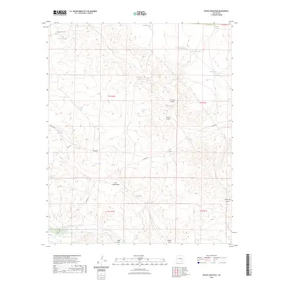
2023 Map of Round Mountain
USGS Topo · Published 2023About this map
Round Mountain serves as the namesake landmark for this portion of the New Mexico landscape, which is defined by an intricate network of arroyos and canyons. The distribution of water is the primary narrative of this terrain, where numerous artificial tanks like Pacheco Tank, Cistern Tank, and Government Tank have been established to sustain life in an arid environment. The presence of the Government Water Hole along Purslane Rd suggests a longstanding reliance on specific localized water sources for travelers and livestock alike.
Find a feature on this map
33 named features on this map. Tap any name to fly to it.
Don’t see what you’re looking for? This feature index may not catch every label — zoom into the map to look around manually.
Map Details
Editions of this 2023 Round Mountain Map
This is the sole edition of this map. No revisions or reprints were ever made.
Other maps of this area

1954 · Fort Sumner
USGS Topo · 1:250,000

1955 · Roswell
USGS Topo · 1:250,000

1958 · Fort Sumner
USGS Topo · 1:250,000

1958 · Roswell
USGS Topo · 1:250,000

1962 · Roswell
USGS Topo · 1:250,000

1967 · Wire Lake
USGS Topo · 1:24,000

1967 · Round Mountain SE
USGS Topo · 1:24,000

1967 · North Lake
USGS Topo · 1:24,000

1967 · Round Mountain
USGS Topo · 1:24,000

1967 · Chivata Canyon
USGS Topo · 1:24,000