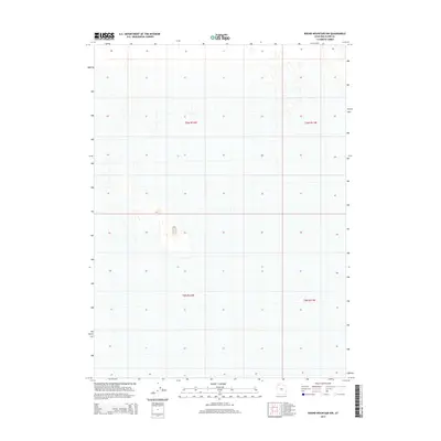
2014 Map of Round Mountain NW
USGS Topo · Published 2014About this map
Box Elder County land divisions in the Great Basin are defined by the Public Land Survey System grids, specifically the intersections of T6n R12w, T6n R11w, T5n R12w, and T5n R11w. This 2014 survey documents the stark topographic character of the region, where subtle elevation changes and drainage patterns dictate the landscape. The sparse distribution of named human features reflects the arid environment and the systematic organization of northern Utah land into townships and ranges. These technical boundaries provide the primary structure for land management and ownership within this section of the Round Mountain NW quadrangle, serving as a baseline for tracing geographic changes over time.
Find a feature on this map
4 named features on this map. Tap any name to fly to it.
Don’t see what you’re looking for? This feature index may not catch every label — zoom into the map to look around manually.
Map Details
Editions of this 2014 Round Mountain NW Map
This is the sole edition of this map. No revisions or reprints were ever made.
Other maps of this area

1954 · Brigham City
USGS Topo · 1:250,000

1958 · Brigham City
USGS Topo · 1:250,000

1962 · Brigham City
USGS Topo · 1:250,000

1969 · Hogup Ridge South
USGS Topo · 1:24,000

1969 · Hogup Ridge North
USGS Topo · 1:24,000

1983 · Desert Peak
USGS Topo · 1:24,000

1983 · Round Mountain NW
USGS Topo · 1:24,000
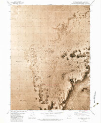
1983 · Round Mountain SW
USGS Topo · 1:24,000

1983 · Groome
USGS Topo · 1:24,000
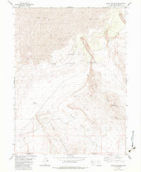
1983 · Round Mountain
USGS Topo · 1:24,000