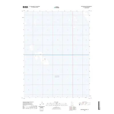
2023 Map of Round Mountain NW
USGS Topo · Published 2023About this map
Utah Test and Training Range dominates this quadrangle in Box Elder County, where the landscape is defined by vast, open expanses within a significant military reservation. The geography here is notably sparse, characteristic of the Great Salt Lake Desert region, with the terrain serving as a critical environment for aerospace and munitions testing. Minimal topographic variation is present, consisting largely of alkali flats and desert basins. The absence of civil infrastructure, roads, or named settlements reflects the restricted and specialized nature of this land use, emphasizing the area's role as a buffer zone for military aviation and training exercises.
Find a feature on this map
1 named feature on this map. Tap any name to fly to it.
Don’t see what you’re looking for? This feature index may not catch every label — zoom into the map to look around manually.
Map Details
Editions of this 2023 Round Mountain NW Map
This is the sole edition of this map. No revisions or reprints were ever made.
Other maps of this area

1954 · Brigham City
USGS Topo · 1:250,000

1958 · Brigham City
USGS Topo · 1:250,000

1962 · Brigham City
USGS Topo · 1:250,000

1969 · Hogup Ridge South
USGS Topo · 1:24,000

1969 · Hogup Ridge North
USGS Topo · 1:24,000

1983 · Desert Peak
USGS Topo · 1:24,000

1983 · Round Mountain NW
USGS Topo · 1:24,000
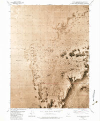
1983 · Round Mountain SW
USGS Topo · 1:24,000

1983 · Groome
USGS Topo · 1:24,000
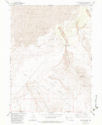
1983 · Round Mountain
USGS Topo · 1:24,000