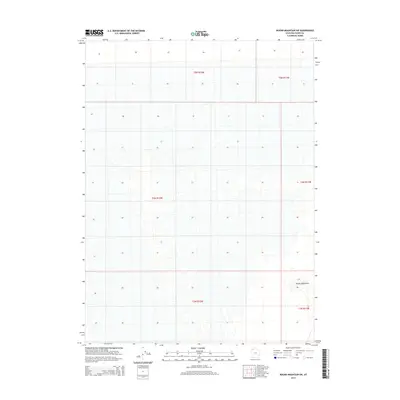
2014 Map of Round Mountain SW
USGS Topo · Published 2014About this map
The Grassy Mountains define the southeastern quadrant of this terrain, marking a distinct elevation change in an otherwise level landscape. Located in Box Elder County, this section of northern Utah is structured by the Public Land Survey System, with the map clearly delineating township and range boundaries including t5n r12w, t4n r12w, and t3n r12w. The survey highlights the intersection of these townships, revealing a landscape largely characterized by its natural contours and the grid of the land office system. For the researcher, this sheet provides the precise coordinates of local topography before more modern developments or alterations may have impacted the natural features of the Grassy Mountains area.
Find a feature on this map
7 named features on this map. Tap any name to fly to it.
Don’t see what you’re looking for? This feature index may not catch every label — zoom into the map to look around manually.
Map Details
Editions of this 2014 Round Mountain SW Map
This is the sole edition of this map. No revisions or reprints were ever made.
Other maps of this area

1953 · Tooele
USGS Topo · 1:250,000

1954 · Brigham City
USGS Topo · 1:250,000

1955 · Tooele
USGS Topo · 1:250,000

1958 · Brigham City
USGS Topo · 1:250,000

1962 · Brigham City
USGS Topo · 1:250,000

1969 · Hogup Ridge South
USGS Topo · 1:24,000

1973 · Grassy Mountains
USGS Topo · 1:24,000

1973 · Knolls 2 NE
USGS Topo · 1:24,000

1973 · Finger Ridge
USGS Topo · 1:24,000
1979 · Bonneville Salt Flats
USGS Topo · 1:100,000