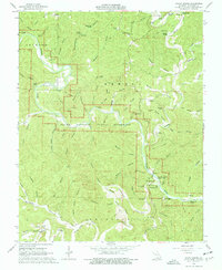
1967 Map of Round Spring
USGS Topo · Published 1977About this map
Round Spring State Park and the protected corridors of the Ozark National Scenic Riverways define this portion of Shannon County during the late 1960s. The landscape is dominated by the winding path of the Current River and Jacks Fork, which are fed by numerous namesake karst features such as Round Spring, Ink Spring, and Cave Spring Cave. The settlement at Timber remains a focal point in the north, featuring the Timber Sch and nearby Fairview Ch. Deep hollows like Troublesome Hollow and Sinking Creek carve through the terrain, illustrating the complex drainage system of the Ozark Plateau. Local genealogy is well-represented through several burial grounds, including Lone Pine Cem and Chrisco Cem, while the Shannondale Lookout Tower stands as a prominent landmark overlooking the forested ridges.
Find a feature on this map
99 named features on this map. Tap any name to fly to it.
Don’t see what you’re looking for? This feature index may not catch every label — zoom into the map to look around manually.
Map Details
Editions of this 1967 Round Spring Map
4 editions found
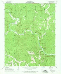
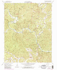
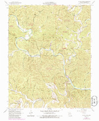
Other maps of this area

1915 · Eminence
USGS Topo · 1:62,500

1917 · Eminence
USGS Topo · 1:62,500

1932 · Cedar Grove
USGS Topo · 1:48,000

1945 · Round Spring
USGS Topo · 1:62,500

1946 · Summersville
USGS Topo · 1:62,500

1947 · Sinkin
USGS Topo · 1:48,000

1948 · Summersville
USGS Topo · 1:62,500

1949 · Round Spring
USGS Topo · 1:62,500

1949 · Rolla
USGS Topo · 1:250,000

1951 · Cedargrove
USGS Topo · 1:24,000