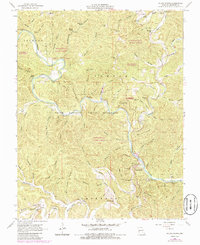
1967 Map of Round Spring
USGS Topo · Published 1985About this map
The Current River winds through the heart of this landscape, its path framed by the Ozark National Scenic Riverways. This 1960s survey, updated in the mid-1980s, documents a region defined by its numerous natural springs and deep hollows. The settlement at Round Spring serves as a focal point near the river's bend, while the uplands of Newton Ridge and the Shannondale State Forest are punctuated by landmarks like the Shannondale Lookout Tower.
Find a feature on this map
84 named features on this map. Tap any name to fly to it.
Don’t see what you’re looking for? This feature index may not catch every label — zoom into the map to look around manually.
Map Details
Editions of this 1967 Round Spring Map
4 editions found
Other maps of this area

1915 · Eminence
USGS Topo · 1:62,500

1917 · Eminence
USGS Topo · 1:62,500

1932 · Cedar Grove
USGS Topo · 1:48,000

1945 · Round Spring
USGS Topo · 1:62,500

1946 · Summersville
USGS Topo · 1:62,500

1947 · Sinkin
USGS Topo · 1:48,000

1948 · Summersville
USGS Topo · 1:62,500

1949 · Round Spring
USGS Topo · 1:62,500

1949 · Rolla
USGS Topo · 1:250,000

1951 · Cedargrove
USGS Topo · 1:24,000