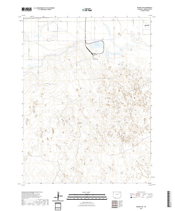
2022 Map of Round Top
USGS Topo · Published 2022About this map
The high plains of Morgan County are defined by a complex network of irrigation and industrial water management, as seen in this 2022 survey. The Fort Morgan Canal and Upper Platte and Beaver Canal represent the long-standing agricultural infrastructure of the region, while the Pawnee Raw Water Reservoir and the 2 and 3 Reservoir Pawnee Evaporation Pond 1 highlight more modern resource utility. The terrain is largely dominated by the natural landmark of Round Top, which rises above the surrounding sections of t3n r57w and t2n r56w.
Find a feature on this map
27 named features on this map. Tap any name to fly to it.
Don’t see what you’re looking for? This feature index may not catch every label — zoom into the map to look around manually.
Map Details
Editions of this 2022 Round Top Map
This is the sole edition of this map. No revisions or reprints were ever made.
Other maps of this area

1951 · Brush West
USGS Topo · 1:24,000

1951 · Brush East
USGS Topo · 1:24,000

1951 · Fort Morgan
USGS Topo · 1:24,000

1954 · Sterling
USGS Topo · 1:250,000

1958 · Sterling
USGS Topo · 1:250,000

1963 · Lamb
USGS Topo · 1:24,000

1963 · Round Top
USGS Topo · 1:24,000

1965 · Gary
USGS Topo · 1:24,000

1965 · Vallery SE
USGS Topo · 1:24,000

1965 · Huey Ranch
USGS Topo · 1:24,000