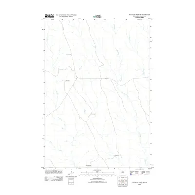
2012 Map of Rousseau Creek NW
USGS Topo · Published 2012About this map
Keckler Ranch and Fisher Ranch anchor the northern landscape of this Dewey County territory, where the economy remains deeply tied to established ranching operations. The terrain is defined by an intricate network of drainages, including the prominent Fishgut Cr and the multiple forks of the W Br Rousseau Cr and E Br Rousseau Cr. These waterways dictate the placement of local infrastructure, as seen with Bia HWY 8 and Co RD 9 winding through the basin to connect family-named properties like Ducheneau Ranch, Marshell Ranch, and Newbrough Ranch. This 2012 survey illustrates the persistence of traditional land use in District 6, documenting the exact locations of rural homesteads and their relationship to the seasonal flows of Hosupa Cr and Fox Cr.
Find a feature on this map
13 named features on this map. Tap any name to fly to it.
Don’t see what you’re looking for? This feature index may not catch every label — zoom into the map to look around manually.
Map Details
Editions of this 2012 Rousseau Creek NW Map
This is the sole edition of this map. No revisions or reprints were ever made.
Other maps of this area

1953 · McIntosh
USGS Topo · 1:250,000

1954 · Pierre
USGS Topo · 1:250,000

1956 · Rousseau Creek SW
USGS Topo · 1:24,000

1956 · Herbert Creek SE
USGS Topo · 1:24,000

1958 · Pierre
USGS Topo · 1:250,000

1958 · McIntosh
USGS Topo · 1:250,000

1969 · Rousseau Creek
USGS Topo · 1:24,000

1981 · Charlie Creek
USGS Topo · 1:24,000

1981 · Rousseau Creek NW
USGS Topo · 1:24,000

1981 · Herbert Creek NE
USGS Topo · 1:24,000