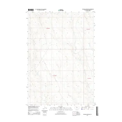
2015 Map of Rousseau Creek NW
USGS Topo · Published 2015About this map
Fishgut Cr and Fox Cr carve through this landscape in District 6, Dewey County, where the drainage patterns of the Missouri River plateau are clearly defined. The terrain is characterized by the branching headwaters of E Br Rousseau Cr and W Br Rousseau Cr, which collect runoff from the surrounding draws. The Bureau of Indian Affairs road network, including Bia-19 and Bia-8, provides the primary infrastructure through these sections of South Dakota. While the map is devoid of dense settlements, the precise legal boundaries of t12n r26e and t11n r27e offer essential orientation for land use and heritage research in this portion of the Cheyenne River Reservation area. Short seasonal streams like Hospo Cr further illustrate the hydrologic character of this high plains environment.
Find a feature on this map
13 named features on this map. Tap any name to fly to it.
Don’t see what you’re looking for? This feature index may not catch every label — zoom into the map to look around manually.
Map Details
Editions of this 2015 Rousseau Creek NW Map
This is the sole edition of this map. No revisions or reprints were ever made.
Other maps of this area

1953 · McIntosh
USGS Topo · 1:250,000

1954 · Pierre
USGS Topo · 1:250,000

1956 · Rousseau Creek SW
USGS Topo · 1:24,000

1956 · Herbert Creek SE
USGS Topo · 1:24,000

1958 · Pierre
USGS Topo · 1:250,000

1958 · McIntosh
USGS Topo · 1:250,000

1969 · Rousseau Creek
USGS Topo · 1:24,000

1981 · Charlie Creek
USGS Topo · 1:24,000

1981 · Rousseau Creek NW
USGS Topo · 1:24,000

1981 · Herbert Creek NE
USGS Topo · 1:24,000