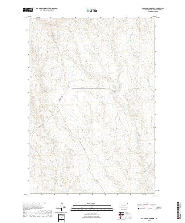
2021 Map of Rousseau Creek NW
USGS Topo · Published 2021About this map
Fishgut Cr and the headwaters of Hosupa Cr define the western reaches of this Dewey County landscape, where the high prairie begins its descent toward the Missouri River breaks. The drainage network is prominent, featuring the winding paths of W Br Rousseau Cr and E Br Rousseau Cr as they cut through the township divisions of t12n r26e and t12n r27e. This modern survey by the U.S. Geological Survey reflects the open, rural character of the Cheyenne River Reservation, where transportation is centered on routes like Armstrong Co Rd and BIA Hwy 8. The map provides a clear view of the topographical relief and the intricate seasonal waterways, including Fox Cr in the northeast, which are critical to understanding the local geography and land use in this part of South Dakota.
Find a feature on this map
12 named features on this map. Tap any name to fly to it.
Don’t see what you’re looking for? This feature index may not catch every label — zoom into the map to look around manually.
Map Details
Editions of this 2021 Rousseau Creek NW Map
This is the sole edition of this map. No revisions or reprints were ever made.
Other maps of this area

1953 · McIntosh
USGS Topo · 1:250,000

1954 · Pierre
USGS Topo · 1:250,000

1956 · Rousseau Creek SW
USGS Topo · 1:24,000

1956 · Herbert Creek SE
USGS Topo · 1:24,000

1958 · Pierre
USGS Topo · 1:250,000

1958 · McIntosh
USGS Topo · 1:250,000

1969 · Rousseau Creek
USGS Topo · 1:24,000

1981 · Charlie Creek
USGS Topo · 1:24,000

1981 · Rousseau Creek NW
USGS Topo · 1:24,000

1981 · Herbert Creek NE
USGS Topo · 1:24,000