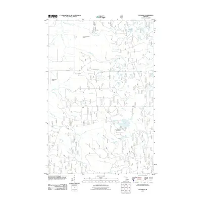
2011 Map of Rousseau
USGS Topo · Published 2011About this map
Rousseau and Pori anchor this portion of Houghton County, where a dense network of forest roads and creek systems define the landscape. The settlement of Rousseau is situated near the Rousseau Cemetery, while the southern portion of the area is dominated by the waters of Bob Lake and its accompanying Bob Lake Campground and Picnic Area. This map documents a transitional period where traditional land uses, such as those at Nikkila Farms Airport, exist alongside newer recreational facilities like the Ontonagon Equestrian Complex.
Find a feature on this map
28 named features on this map. Tap any name to fly to it.
Don’t see what you’re looking for? This feature index may not catch every label — zoom into the map to look around manually.
Map Details
Editions of this 2011 Rousseau Map
This is the sole edition of this map. No revisions or reprints were ever made.
Other maps of this area

1949 · Rockland
USGS Topo · 1:62,500

1950 · Greenland
USGS Topo · 1:62,500

1951 · Rockland
USGS Topo · 1:62,500

1951 · Greenland
USGS Topo · 1:62,500

1954 · Rousseau
USGS Topo · 1:62,500

1954 · Winona
USGS Topo · 1:62,500

1958 · Iron River
USGS Topo · 1:250,000

1960 · Iron River
USGS Topo · 1:250,000

1961 · Iron River
USGS Topo · 1:250,000

1967 · Iron River
USGS Topo · 1:250,000