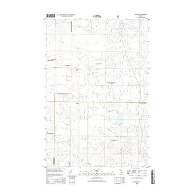
2014 Map of Rousseau
USGS Topo · Published 2014About this map
The northern reaches of the Ottawa National Forest define this landscape, where the settlements of Rousseau and Pori sit along the boundary of Ontonagon and Houghton Counties. The terrain is a complex network of wetlands and small waterways, including the winding Dishinaw Cr and W Br Firesteel River. To the northeast, the curiously named Sudden Lake and Very Sudden Pond highlight the glacial hydrology of the Upper Peninsula. Local history is anchored by the Rousseau Cem located just off Penegor Rd.
Find a feature on this map
32 named features on this map. Tap any name to fly to it.
Don’t see what you’re looking for? This feature index may not catch every label — zoom into the map to look around manually.
Map Details
Editions of this 2014 Rousseau Map
This is the sole edition of this map. No revisions or reprints were ever made.
Other maps of this area

1949 · Rockland
USGS Topo · 1:62,500

1950 · Greenland
USGS Topo · 1:62,500

1951 · Rockland
USGS Topo · 1:62,500

1951 · Greenland
USGS Topo · 1:62,500

1954 · Rousseau
USGS Topo · 1:62,500

1954 · Winona
USGS Topo · 1:62,500

1958 · Iron River
USGS Topo · 1:250,000

1960 · Iron River
USGS Topo · 1:250,000

1961 · Iron River
USGS Topo · 1:250,000

1967 · Iron River
USGS Topo · 1:250,000