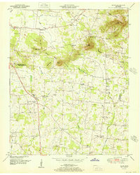
1951 Map of Rover
USGS Topo · Published 1951About this map
The Tennessee Valley Divide snakes across this mid-century landscape, separating the headwaters of Concord Creek and the Harpeth R from the southern drainages of Weekly Creek and Clem Creek. Small agricultural communities like Rover, Versailles, and Longview anchor a network of rural roads lined with family-named landmarks. The map is particularly dense with genealogical data, noting dozens of private burial grounds such as Taylor Cem, Nance Cem, and Rucker Cem that dot the countryside between the hills of Cedar Ridge and Bunker Hill.
Find a feature on this map
78 named features on this map. Tap any name to fly to it.
Don’t see what you’re looking for? This feature index may not catch every label — zoom into the map to look around manually.
Map Details
Editions of this 1951 Rover Map
This is the sole edition of this map. No revisions or reprints were ever made.
Other maps of this area
1916 · Murfreesboro
USGS Topo · 1:62,500
1936 · Chapel Hill
USGS Topo · 1:24,000
1936 · Farmington
USGS Topo · 1:24,000
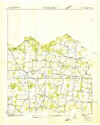
1936 · Rover
USGS Topo · 1:24,000
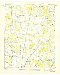
1936 · Deason
USGS Topo · 1:24,000
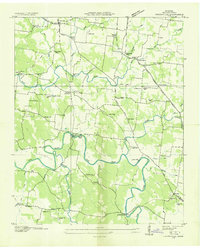
1936 · Unionville
USGS Topo · 1:24,000
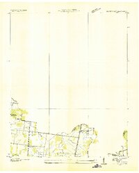
1936 · Fosterville
USGS Topo · 1:24,000

1942 · Lebanon
USGS Topo · 1:100,000
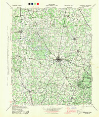
1944 · Shelbyville
USGS Topo · 1:100,000
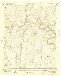
1947 · Farmington
USGS Topo · 1:24,000