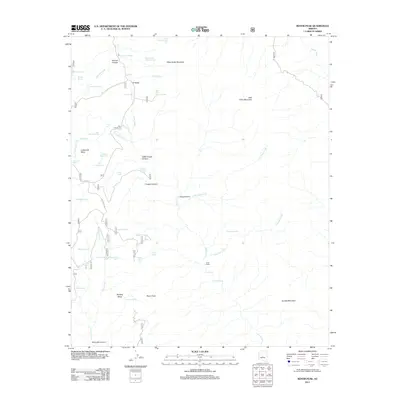
2011 Map of Rover Peak
USGS Topo · Published 2011About this map
Fifty One Ranch sits at the head of Ash Spring Creek, marking a point of human habitation in a landscape defined by high mesas and deep drainages. Located northeast of Phoenix, this 2011 survey shows a complex network of water resources vital for cattle and ranching, including the Lime Cabin outpost and dozens of named tanks such as Seldom Trick Tank and Monument Mesa Tank. The terrain rises toward Rover Peak and the surrounding heights of West Cedar Mountain and East Cedar Mountain. Drainage systems like Lime Creek and Cave Creek carve through the geology, while the presence of Stone Camp Spring and Indian Spring suggests the enduring importance of natural water sources in this arid environment. Forest service roads, including Cave Creek Rd, provide the primary access through the canyons and across Lockwood Mesa.
Find a feature on this map
65 named features on this map. Tap any name to fly to it.
Don’t see what you’re looking for? This feature index may not catch every label — zoom into the map to look around manually.
Map Details
Editions of this 2011 Rover Peak Map
This is the sole edition of this map. No revisions or reprints were ever made.
Other maps of this area

1887 · Verde
USGS Topo · 1:250,000

1892 · Verde
USGS Topo · 1:250,000

1929 · Turret Peak
USGS Topo · 1:125,000

1930 · Cave Creek
USGS Topo · 1:125,000

1933 · Turret Peak
USGS Topo · 1:125,000

1939 · Cave Creek
USGS Topo · 1:125,000

1954 · Holbrook
USGS Topo · 1:250,000

1954 · Mesa
USGS Topo · 1:250,000

1957 · Mesa
USGS Topo · 1:250,000

1957 · Holbrook
USGS Topo · 1:250,000