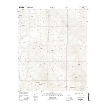
2014 Map of Rover Peak
USGS Topo · Published 2014About this map
Rover Peak and the surrounding high desert terrain define this portion of the Tonto National Forest at the transition between the Yavapai and Maricopa county lines. The landscape is characterized by a complex network of canyons and mesas, including Lockwood Mesa and Bulldog Mesa, where water management for livestock or wildlife is evident through numerous named tanks such as Latimore Tank and Seldom Trick Tank. Named springs, including Stone Camp Spring and Jack Brooks Spring, underscore the vital role of water sources in this arid environment. The map details the drainage patterns of Lime Creek and Holmes Creek as they carve through volcanic and sedimentary formations, including CP Butte and the twin peaks of West Cedar Mountain and East Cedar Mountain. This 2014 survey records a largely undeveloped landscape where 4WD trails provide the primary access to features like Blackjack Point and Mill Canyon.
Find a feature on this map
60 named features on this map. Tap any name to fly to it.
Don’t see what you’re looking for? This feature index may not catch every label — zoom into the map to look around manually.
Map Details
Editions of this 2014 Rover Peak Map
This is the sole edition of this map. No revisions or reprints were ever made.
Other maps of this area

1887 · Verde
USGS Topo · 1:250,000

1892 · Verde
USGS Topo · 1:250,000

1929 · Turret Peak
USGS Topo · 1:125,000

1930 · Cave Creek
USGS Topo · 1:125,000

1933 · Turret Peak
USGS Topo · 1:125,000

1939 · Cave Creek
USGS Topo · 1:125,000

1954 · Holbrook
USGS Topo · 1:250,000

1954 · Mesa
USGS Topo · 1:250,000

1957 · Mesa
USGS Topo · 1:250,000

1957 · Holbrook
USGS Topo · 1:250,000