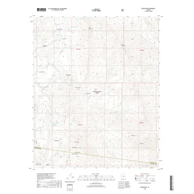
2018 Map of Rover Peak
USGS Topo · Published 2018About this map
Tonto National Forest land dominates this high-elevation landscape along the border of Maricopa and Yavapai counties. The terrain is defined by a series of steep canyons and prominent mesas, most notably Magazine Mesa and Lockwood Mesa, while the landmark Rover Peak serves as a central vertical anchor. The map reveals a sophisticated network of water management essential for this environment, featuring a high density of named tanks and springs. From Indian Ruin Tank and Stone Camp Spring to the specialized Cedar Mountain Trick Tank, these features indicate the area's importance for livestock or wildlife management within the forest. Transportation is limited to a few corridors like Cave Creek Rd and N FR 254, which thread through the drainage basins of Lime Cr and Professor Cr. This 2018 survey provides a modern view of the hydrologic and topographic features that have long shaped land use in this part of the Southwest.
Find a feature on this map
62 named features on this map. Tap any name to fly to it.
Don’t see what you’re looking for? This feature index may not catch every label — zoom into the map to look around manually.
Map Details
Editions of this 2018 Rover Peak Map
This is the sole edition of this map. No revisions or reprints were ever made.
Other maps of this area

1887 · Verde
USGS Topo · 1:250,000

1892 · Verde
USGS Topo · 1:250,000

1929 · Turret Peak
USGS Topo · 1:125,000

1930 · Cave Creek
USGS Topo · 1:125,000

1933 · Turret Peak
USGS Topo · 1:125,000

1939 · Cave Creek
USGS Topo · 1:125,000

1954 · Holbrook
USGS Topo · 1:250,000

1954 · Mesa
USGS Topo · 1:250,000

1957 · Mesa
USGS Topo · 1:250,000

1957 · Holbrook
USGS Topo · 1:250,000