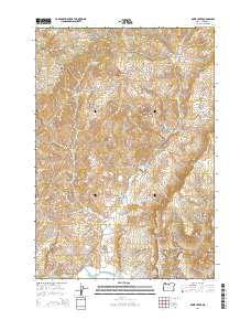
2014 Map of Rowe Creek
USGS Topo · Published 2014About this map
Old Mill Canyon and Liberty Bottom anchor this portion of Wheeler County, where the high desert landscape is deeply carved by drainage systems feeding toward the south. The John Day River skirts the southwestern corner of the quadrangle, serving as the primary hydrological focus for the network of canyons and ridges that define the area. High-elevation landmarks such as Sugarloaf Mtn and Rock Mtn rise above the complex terrain of Kentucky Ridge and Jumbo Ridge.
Find a feature on this map
52 named features on this map. Tap any name to fly to it.
Don’t see what you’re looking for? This feature index may not catch every label — zoom into the map to look around manually.
Map Details
Editions of this 2014 Rowe Creek Map
This is the sole edition of this map. No revisions or reprints were ever made.
Other maps of this area

1926 · Mitchell
USGS Topo · 1:125,000

1955 · Bend
USGS Topo · 1:250,000

1957 · Bend
USGS Topo · 1:250,000

1958 · Bend
USGS Topo · 1:250,000

1966 · Mitchell
USGS Topo · 1:62,500

1966 · Kinzua
USGS Topo · 1:62,500

1966 · Clarno
USGS Topo · 1:62,500

1968 · Painted Hills
USGS Topo · 1:24,000

1981 · Stephenson Mountain
USGS Topo · 1:100,000
1987 · Rowe Creek
USGS Topo · 1:24,000