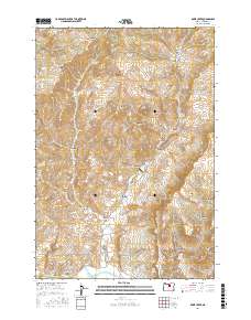
2017 Map of Rowe Creek
USGS Topo · Published 2017About this map
Rowe Creek Rd winds through a high-elevation landscape of deep canyons and volcanic buttes in Wheeler County. This interior Oregon terrain is defined by its water sources, where Mathieson Spring, Alkali Springs, and Rim Rock Springs provide vital points of relief in a dry environment. The naming of landmarks like Old Mill Canyon, Lambing Camp Canyon, and Kentucky Ridge suggests a history of early livestock ranching and timber processing that shaped this part of the John Day basin.
Find a feature on this map
51 named features on this map. Tap any name to fly to it.
Don’t see what you’re looking for? This feature index may not catch every label — zoom into the map to look around manually.
Map Details
Editions of this 2017 Rowe Creek Map
This is the sole edition of this map. No revisions or reprints were ever made.
Other maps of this area

1926 · Mitchell
USGS Topo · 1:125,000

1955 · Bend
USGS Topo · 1:250,000

1957 · Bend
USGS Topo · 1:250,000

1958 · Bend
USGS Topo · 1:250,000

1966 · Mitchell
USGS Topo · 1:62,500

1966 · Kinzua
USGS Topo · 1:62,500

1966 · Clarno
USGS Topo · 1:62,500

1968 · Painted Hills
USGS Topo · 1:24,000

1981 · Stephenson Mountain
USGS Topo · 1:100,000
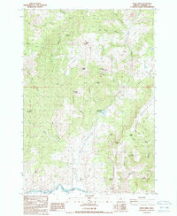
1987 · Rowe Creek
USGS Topo · 1:24,000