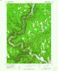
1960 Map of Rowe
USGS Topo · Published 1961About this map
The Deerfield River carves a deep, winding path through the Berkshire highlands, serving as the central artery for both industry and transport in this 1960 revision. The massive engineering feat of the Hoosac Tunnel is evident where the Boston and Maine RR pierces the mountainside near Zoar, a critical link in the rail corridor. To the north, the industrial character of Monroe Bridge is defined by its proximity to the Sherman Reservoir and its Power Plant, highlighting the era's reliance on hydroelectric power. Higher elevations are dominated by managed timberlands and recreational spaces, including the Monroe State Forest and Mohawk Trail State Forest. Small settlements like Rowe and Drury are connected by steep mountain roads, while several historic burying grounds such as West Cem and Sherman Cem provide essential data points for local family historians.
Find a feature on this map
55 named features on this map. Tap any name to fly to it.
Don’t see what you’re looking for? This feature index may not catch every label — zoom into the map to look around manually.
Map Details
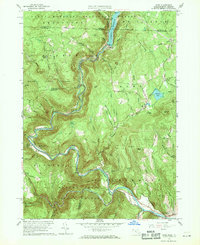
Editions of this 1960 Rowe Map
2 editions found
Other maps of this area

1886 · Greylock
USGS Topo · 1:62,500

1886 · Hawley
USGS Topo · 1:62,500

1889 · Wilmington
USGS Topo · 1:62,500

1890 · Hawley
USGS Topo · 1:62,500

1891 · Wilmington
USGS Topo · 1:62,500

1891 · Greylock
USGS Topo · 1:62,500

1893 · Greylock
USGS Topo · 1:62,500

1894 · Hawley
USGS Topo · 1:62,500

1898 · Bennington
USGS Topo · 1:62,500

1898 · Greylock
USGS Topo · 1:62,500