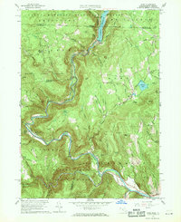
1960 Map of Rowe
USGS Topo · Published 1969About this map
The Deerfield River carves a deep path through the highlands of Northern Franklin County, anchoring a landscape defined by massive civil engineering and forestry. The Hoosac Tunnel and Hoosac Tunnel Sta represent a critical rail link beneath these peaks, connecting the region via the Boston and Maine Railroad. In the northern section, the Sherman Reservoir and its associated Power Plant at Monroe Bridge showcase the industrial utility of the river during the mid-century era.
Find a feature on this map
91 named features on this map. Tap any name to fly to it.
Don’t see what you’re looking for? This feature index may not catch every label — zoom into the map to look around manually.
Map Details
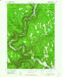
Editions of this 1960 Rowe Map
2 editions found
Other maps of this area

1886 · Greylock
USGS Topo · 1:62,500

1886 · Hawley
USGS Topo · 1:62,500

1889 · Wilmington
USGS Topo · 1:62,500

1890 · Hawley
USGS Topo · 1:62,500

1891 · Wilmington
USGS Topo · 1:62,500

1891 · Greylock
USGS Topo · 1:62,500

1893 · Greylock
USGS Topo · 1:62,500

1894 · Hawley
USGS Topo · 1:62,500

1898 · Bennington
USGS Topo · 1:62,500

1898 · Greylock
USGS Topo · 1:62,500