
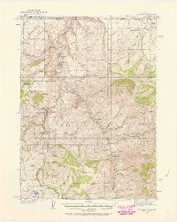
1936 Map of Rowland
USGS Topo · Published 1936About this map
The Bruneau River carves through the high desert borderlands of Nevada and Idaho in this mid-1930s survey. This remote landscape in the Humboldt National Forest is defined by a sparse but resilient network of family-operated livestock operations, including the Knight Ranch, Alvarez Ranch, and the Budge Rizzi Ranch. The presence of the Rowland PO and the Bruneau Sch suggests a small, localized community gathered around the Bruneau Mine and the surrounding grazing lands. High plateaus such as Desert Table and Meridian Table overlook deep drainage systems like Diamond Canyon, where the Diamond Canyon Trail provided vital access through the difficult terrain. At the southern edge, the Gold Creek Ranger Sta and the Sunflower Reservoir mark the reach of federal forest management and water control in the Great Basin high country.
Find a feature on this map
95 named features on this map. Tap any name to fly to it.
Don’t see what you’re looking for? This feature index may not catch every label — zoom into the map to look around manually.
Map Details
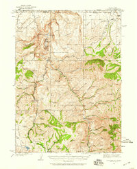
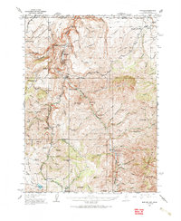
Editions of this 1936 Rowland Map
4 editions found
Other maps of this area

1935 · Charleston
USGS Topo · 1:48,000

1936 · Mountain City
USGS Topo · 1:62,500

1940 · Rowland
USGS Topo · 1:62,500

1940 · Mountain City
USGS Topo · 1:62,500

1942 · Mt. Velma
USGS Topo · 1:62,500

1943 · Jarbidge
USGS Topo · 1:62,500

1945 · Jarbidge
USGS Topo · 1:62,500

1955 · Twin Falls
USGS Topo · 1:250,000

1955 · Wells
USGS Topo · 1:250,000

1956 · Wild Horse
USGS Topo · 1:62,500