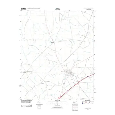
2011 Map of Rowland
USGS Topo · Published 2011About this map
Rowland serves as the primary hub of this North Carolina landscape, where a grid of streets meets the crossing of major thoroughfares and rail corridors. The town is flanked by significant burial sites of genealogical interest, including the centrally located Rowland Cemetery and the more distant McCormick Cemetery to the southeast. To the west, Oakland Crossroads and the Oakland United Methodist Church Cemetery mark a secondary node of settlement near the meandering course of Shoe Heel Creek.
Find a feature on this map
80 named features on this map. Tap any name to fly to it.
Don’t see what you’re looking for? This feature index may not catch every label — zoom into the map to look around manually.
Map Details
Editions of this 2011 Rowland Map
This is the sole edition of this map. No revisions or reprints were ever made.
Other maps of this area

1943 · Pages Mill
USGS Topo · 1:62,500

1953 · Florence
USGS Topo · 1:250,000

1954 · Florence
USGS Topo · 1:250,000

1960 · Dillon East
USGS Topo · 1:24,000

1960 · Dillon West
USGS Topo · 1:24,000

1962 · Gaddysville
USGS Topo · 1:24,000

1962 · Fair Bluff
USGS Topo · 1:62,500

1971 · Minturn
USGS Topo · 1:24,000

1971 · Johns
USGS Topo · 1:24,000

1972 · Pembroke
USGS Topo · 1:24,000