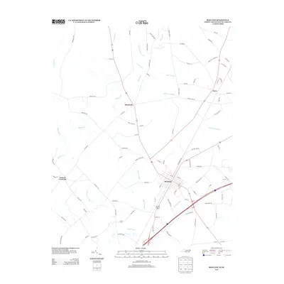
2013 Map of Rowland
USGS Topo · Published 2013About this map
Rowland stands as the primary hub in this low-lying region of Robeson County, where the street grid aligns with the NW Railroad Ave corridor. The surrounding landscape is defined by an extensive network of wetlands, including Fullermore Swamp, Mitchell Swamp, and Bracey Swamp, which historically dictated the placement of roads and small agricultural outposts. Smaller settlements like Alfordsville and Purvis are connected by a web of rural routes such as Alfordsville Rd and Purvis Rd. Genealogists may find particular value in locating land relative to Bracey Cemetery Rd or identifying proximity to water features like Shoe Heel Cr. The map illustrates a rural economy still anchored by these traditional centers and their relationship to the natural drainage patterns of the coastal plain.
Find a feature on this map
86 named features on this map. Tap any name to fly to it.
Don’t see what you’re looking for? This feature index may not catch every label — zoom into the map to look around manually.
Map Details
Editions of this 2013 Rowland Map
This is the sole edition of this map. No revisions or reprints were ever made.
Other maps of this area

1943 · Pages Mill
USGS Topo · 1:62,500

1953 · Florence
USGS Topo · 1:250,000

1954 · Florence
USGS Topo · 1:250,000

1960 · Dillon East
USGS Topo · 1:24,000

1960 · Dillon West
USGS Topo · 1:24,000

1962 · Gaddysville
USGS Topo · 1:24,000

1962 · Fair Bluff
USGS Topo · 1:62,500

1971 · Minturn
USGS Topo · 1:24,000

1971 · Johns
USGS Topo · 1:24,000

1972 · Pembroke
USGS Topo · 1:24,000