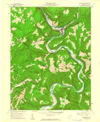
1960 Map of Rowlesburg
USGS Topo · Published 1961About this map
The Cheat River carves a dramatic, winding path through the Briery Mtns and the Monongahela National Forest, defining the industrial and social life of this West Virginia corridor in 1960. The town of Rowlesburg sits at a sharp oxbow, serving as a vital hub for the Baltimore and Ohio Railroad and the nearby cement manufacturing center at Manheim. The landscape is dotted with the hallmarks of tight-knit Appalachian communities, including the Mtn View Sch and numerous country churches like Victory Ch and Redrock Ch. High on the ridges and deep in the hollows, family legacies are preserved in small burial grounds such as Watkins Cem and Sanders Cem. Local infrastructure of the era is evident in the Covered Bridge near Macomber and the proliferation of Gas Wells and Mines, reflecting the region's reliance on timber, rail, and resource extraction.
Find a feature on this map
66 named features on this map. Tap any name to fly to it.
Don’t see what you’re looking for? This feature index may not catch every label — zoom into the map to look around manually.
Map Details
Editions of this 1960 Rowlesburg Map
4 editions found
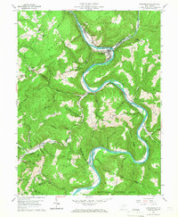
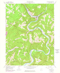
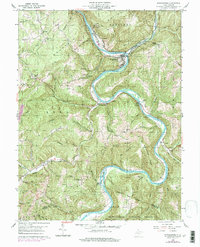
Other maps of this area

1886 · St. George
USGS Topo · 1:125,000

1891 · St. George
USGS Topo · 1:125,000

1907 · Thornton
USGS Topo · 1:62,500

1907 · Kingwood
USGS Topo · 1:62,500

1907 · Belington
USGS Topo · 1:62,500

1908 · Parsons
USGS Topo · 1:62,500

1925 · Kingwood
USGS Topo · 1:62,500

1926 · Thornton
USGS Topo · 1:62,500

1926 · Parsons
USGS Topo · 1:62,500

1927 · Belington
USGS Topo · 1:62,500