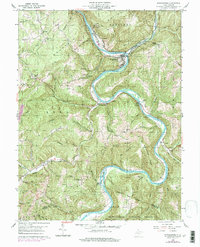
1960 Map of Rowlesburg
USGS Topo · Published 1998About this map
The Cheat River carves a deep, winding path through Preston County, dictating the development of the valley’s towns and industry. Along its banks, the town of Rowlesburg serves as a central hub, where the Baltimore and Ohio railroad follows the water's edge through steep terrain. The industrial footprint is evident at Manheim and nearby mines, while the agricultural and spiritual life of the mountain ridges is marked by isolated landmarks like Mt Sarah Ch and Victory Ch.
Find a feature on this map
71 named features on this map. Tap any name to fly to it.
Don’t see what you’re looking for? This feature index may not catch every label — zoom into the map to look around manually.
Map Details
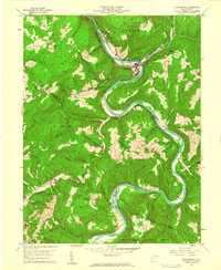
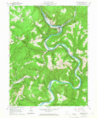
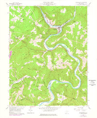
Editions of this 1960 Rowlesburg Map
4 editions found
Other maps of this area

1886 · St. George
USGS Topo · 1:125,000

1891 · St. George
USGS Topo · 1:125,000

1907 · Thornton
USGS Topo · 1:62,500

1907 · Kingwood
USGS Topo · 1:62,500

1907 · Belington
USGS Topo · 1:62,500

1908 · Parsons
USGS Topo · 1:62,500

1925 · Kingwood
USGS Topo · 1:62,500

1926 · Thornton
USGS Topo · 1:62,500

1926 · Parsons
USGS Topo · 1:62,500

1927 · Belington
USGS Topo · 1:62,500