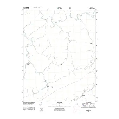
2010 Map of Roxana
USGS Topo · Published 2010About this map
Kingdom Come and Oscaloosa stand as notable points along the complex ridge-and-valley network of eastern Kentucky during the early twenty-first century. This landscape is defined by its extensive drainage systems, where the North Fork Kentucky River winds through the northern portion of the quadrangle, fed by numerous tributaries such as Big Elk Branch and Lucky Branch. The settlement pattern follows these narrow watercourses, with the Line Fork Post Office serving as a vital central node for the dispersed communities of Linefork and Skyline.
Find a feature on this map
33 named features on this map. Tap any name to fly to it.
Don’t see what you’re looking for? This feature index may not catch every label — zoom into the map to look around manually.
Map Details
Editions of this 2010 Roxana Map
This is the sole edition of this map. No revisions or reprints were ever made.
Other maps of this area

1887 · Jonesville
USGS Topo · 1:125,000

1890 · Whitesburg
USGS Topo · 1:125,000

1891 · Hazard
USGS Topo · 1:125,000

1891 · Jonesville
USGS Topo · 1:125,000

1892 · Whitesburg
USGS Topo · 1:125,000

1894 · Estillville
USGS Topo · 1:125,000

1913 · Oven Fork
USGS Topo · 1:48,000

1915 · Whitesburg
USGS Topo · 1:62,500

1916 · Cornettsville
USGS Topo · 1:62,500

1916 · Nolansburg
USGS Topo · 1:48,000