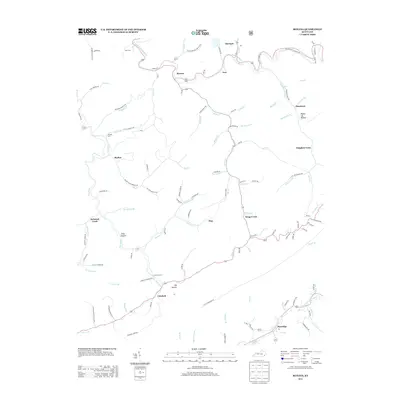
2013 Map of Roxana
USGS Topo · Published 2013About this map
The N Fork Kentucky River and Line Fork dominate this 2013 landscape in Letcher and Harlan Counties, where narrow valley floors dictate the placement of mountain communities. Early 21st-century infrastructure follows the winding paths of these waterways, connecting settlements like Roxana, Linefork, and Partridge. The map reveals the intricate network of hollows that define the region's topography, including Linzy Hollow, Big Hollow, and Poplar Log Hollow. Local history and family ties are anchored in several upland burial sites, such as the Isom Cem, Morgan Cem, and Cornetts Cem. Notable place names like Kingdom Come and Hot Spot reflect the unique cultural heritage and settlement history of this portion of the Cumberland Plateau. For genealogists and local historians, the sheet provides a detailed view of the many small creeks—such as Defeated Cr, Ingram Cr, and Kings Cr—that have historically served as the primary conduits for travel and residence in the deep Appalachian ridges.
Find a feature on this map
121 named features on this map. Tap any name to fly to it.
Don’t see what you’re looking for? This feature index may not catch every label — zoom into the map to look around manually.
Map Details
Editions of this 2013 Roxana Map
This is the sole edition of this map. No revisions or reprints were ever made.
Other maps of this area

1887 · Jonesville
USGS Topo · 1:125,000

1890 · Whitesburg
USGS Topo · 1:125,000

1891 · Hazard
USGS Topo · 1:125,000

1891 · Jonesville
USGS Topo · 1:125,000

1892 · Whitesburg
USGS Topo · 1:125,000

1894 · Estillville
USGS Topo · 1:125,000

1913 · Oven Fork
USGS Topo · 1:48,000

1915 · Whitesburg
USGS Topo · 1:62,500

1916 · Cornettsville
USGS Topo · 1:62,500

1916 · Nolansburg
USGS Topo · 1:48,000