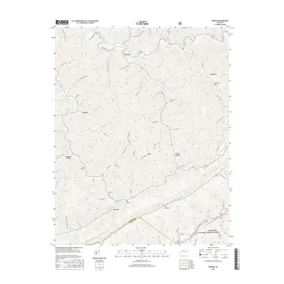
2016 Map of Roxana
USGS Topo · Published 2016About this map
Pine Mountain dominates the southern landscape of this 2016 survey, a sharp ridgeline marking the boundary between Letcher Co and Harlan Co. The area is defined by the headwaters and tributaries of the North Fork Kentucky River, which winds past the settlement of Roxana. Small mountain communities like Skyline, Oskaloosa, and Kings Creek are connected by narrow roads following the hollows and creek beds, such as Kingdom Come Cr and Line Fork.
Find a feature on this map
86 named features on this map. Tap any name to fly to it.
Don’t see what you’re looking for? This feature index may not catch every label — zoom into the map to look around manually.
Map Details
Editions of this 2016 Roxana Map
This is the sole edition of this map. No revisions or reprints were ever made.
Other maps of this area

1887 · Jonesville
USGS Topo · 1:125,000

1890 · Whitesburg
USGS Topo · 1:125,000

1891 · Hazard
USGS Topo · 1:125,000

1891 · Jonesville
USGS Topo · 1:125,000

1892 · Whitesburg
USGS Topo · 1:125,000

1894 · Estillville
USGS Topo · 1:125,000

1913 · Oven Fork
USGS Topo · 1:48,000

1915 · Whitesburg
USGS Topo · 1:62,500

1916 · Cornettsville
USGS Topo · 1:62,500

1916 · Nolansburg
USGS Topo · 1:48,000