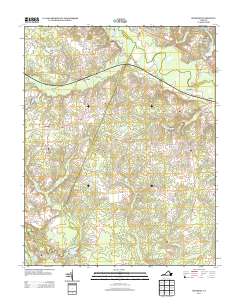
2013 Map of Roxbury
USGS Topo · Published 2013About this map
The Chickahominy River and its associated wetlands, including Canal Swamp, Toe Ink Swamp, and White Oak Swamp, define the low-lying drainage patterns of this Charles City County landscape. These water systems converge toward the James River at the southern edge of the map, where the Shirley Millpond reflects the historical importance of local water power. Small settlements and crossroads like Roxbury, Elko, and Glendale are connected by a network of rural roads such as Charles City Rd and Elko Rd. The presence of Long Bridge over the river and landmarks such as Ednas Mill and Malvern Hill point to a long history of transit and habitation. Further south, Granville and Montpelier sit near the riverbanks, while the residential development at Woodhaven Shores near Kent Lake represents a modern layer of land use alongside traditional timber and agricultural tracts.
Find a feature on this map
87 named features on this map. Tap any name to fly to it.
Don’t see what you’re looking for? This feature index may not catch every label — zoom into the map to look around manually.
Map Details
Editions of this 2013 Roxbury Map
This is the sole edition of this map. No revisions or reprints were ever made.
Other maps of this area

1894 · Bermuda Hundred
USGS Topo · 1:62,500

1894 · Richmond
USGS Topo · 1:62,500

1895 · Richmond
USGS Topo · 1:62,500

1918 · Charles City
USGS Topo · 1:62,500

1920 · King William
USGS Topo · 1:62,500

1934 · Seven Pines
USGS Topo · 1:24,000

1938 · Dutch Gap
USGS Topo · 1:24,000

1938 · Seven Pines
USGS Topo · 1:31,680

1943 · Dutch Gap
USGS Topo · 1:31,680

1943 · Hopewell
USGS Topo · 1:31,680