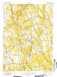
1949 Map of Roxbury
USGS Topo · Published 1949About this map
The Shepaug River carves a winding path through this corner of Litchfield County, dictating the placement of early settlements and transportation routes. In the late 1940s, the Litchfield Branch of the railroad followed the river's tight bends, serving communities like Roxbury Sta and Judds Bridge. The landscape is defined by its numerous named peaks, such as Mine Hill and Booth Hill, alongside distinctive geological features like the sharp bend known as The Clam Shell.
Find a feature on this map
54 named features on this map. Tap any name to fly to it.
Don’t see what you’re looking for? This feature index may not catch every label — zoom into the map to look around manually.
Map Details
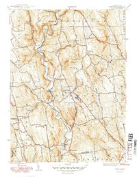
Editions of this 1949 Roxbury Map
2 editions found
Other maps of this area

1889 · Derby
USGS Topo · 1:62,500

1891 · Derby
USGS Topo · 1:62,500

1892 · Danbury
USGS Topo · 1:62,500

1892 · New Milford
USGS Topo · 1:62,500

1893 · Waterbury
USGS Topo · 1:62,500

1893 · New Milford
USGS Topo · 1:62,500

1893 · Derby
USGS Topo · 1:62,500

1904 · New Milford
USGS Topo · 1:62,500

1904 · Waterbury
USGS Topo · 1:62,500

1904 · Litchfield
USGS Topo · 1:125,000