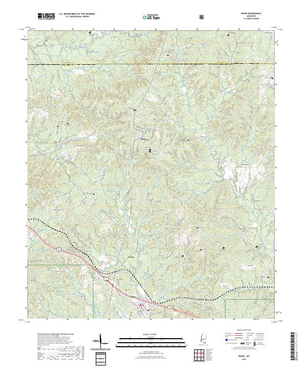
2024 Map of Roxie
USGS Topo · Published 2024About this map
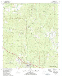
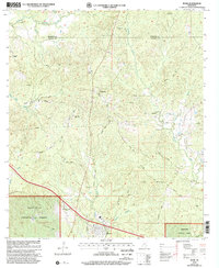
Homochitto National Forest encompasses the southern portion of this landscape, where the settlement of Roxie serves as a local hub near the junction of several state and local routes. The terrain is defined by a dense network of drainages, including South Fork Coles Creek, Wells Creek, and Morgan Fork, which carve through the undulating topography. These watercourses likely dictated the historical placement of the numerous family and community burial grounds found here, such as Saint Paul Cem and Williams Cem in the north, and Beech Grove Cem to the east.
Find a feature on this map
76 named features on this map. Tap any name to fly to it.
Don’t see what you’re looking for? This feature index may not catch every label — zoom into the map to look around manually.
Map Details
Editions of this 2024 Roxie Map
This is the sole edition of this map. No revisions or reprints were ever made.
Historical Maps of Roxie Through Time
7 maps found