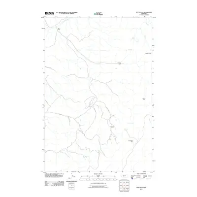
2011 Map of Roy Gulch
USGS Topo · Published 2011About this map
Sixteenmile Creek defines the northern reaches of this landscape, carving through a region marked by steep drainages and upland plateaus. The terrain is characterized by a series of named ravines, including Roy Gulch, Whiskey Gulch, and Quarry Gulch, which signal a history of local topographical identification tied to early ranching or prospecting. A network of rural routes such as Garden Gulch Rd and Pole Gulch Rd provide access to the interior, where the Horseshoe Hills rise in the south.
Find a feature on this map
27 named features on this map. Tap any name to fly to it.
Don’t see what you’re looking for? This feature index may not catch every label — zoom into the map to look around manually.
Map Details
Editions of this 2011 Roy Gulch Map
This is the sole edition of this map. No revisions or reprints were ever made.
Other maps of this area

1886 · Fort Logan
USGS Topo · 1:250,000

1888 · Three Forks
USGS Topo · 1:250,000

1894 · Three Forks
USGS Topo · 1:250,000

1895 · Three Forks
USGS Topo · 1:250,000

1947 · Bozeman
USGS Topo · 1:250,000

1948 · Bozeman
USGS Topo · 1:250,000

1948 · White Sulphur Springs
USGS Topo · 1:250,000

1949 · Manhattan
USGS Topo · 1:62,500

1949 · Maudlow
USGS Topo · 1:62,500

1949 · Toston
USGS Topo · 1:62,500